NBMG / USGS mapped geology ↗Stewart & Carlson1978 geologic map of Nevada, 1:500,000; digital compilation 2013/2014. District units and source legend. Campus is generalized Qa alluvium; U02 lies in mapped playa/marsh/alluvial-flat deposits. Regional context only. No campus coverage returned from checked finer NBMG12k/24k/32k layers.
USGS GeoDAWN airborne survey ↗GeoDAWN acquisition 1 Nov 2021 to 20 Nov 2022. Native 100 m radiometric grid; Area 2 flight lines 400 m and tie lines 4,000 m. A 100 m output grid does not imply 100 m flight-line spacing. eU measures near-surface response, not ore grade. Artifacts and geological background need field checks.
USGS 3DEP / Earth MRI LiDAR ↗Native 1 m elevation for site comparisons, slope and planning contours. NV West Central Earth MRI 2020 acquisition, published 2023; NAVD88. Earthwork values are screening proxies.
Esri World Imagery ↗High-resolution physical context and visible access. Embedded campus image dated 31 Aug 2023. Vantor Vivid / WorldView-3 source 0.31 m; reported accuracy 8.47 m. Not a boundary survey. Live basemap may use a different mosaic.
Copernicus Sentinel-2 ↗9 Sep 2026 surface reflectance, native 10 m RGB and 20 m SWIR interpretation. Display composites indicate surface contrast, not uranium concentration. Cloud and quality masks apply.
USGS MRDS through NBMG ↗Historical uranium occurrences and documented host-rock context. Historical records can be duplicated and have imprecise coordinates. Neither mineral rights nor current resources are established.
BLM PLSS and surface management ↗T2S R39E Section 3, Mount Diablo Meridian; BLM surface classification. Surface classification is not title, claim availability or development authorization. Detailed claim and withdrawal review remains open.
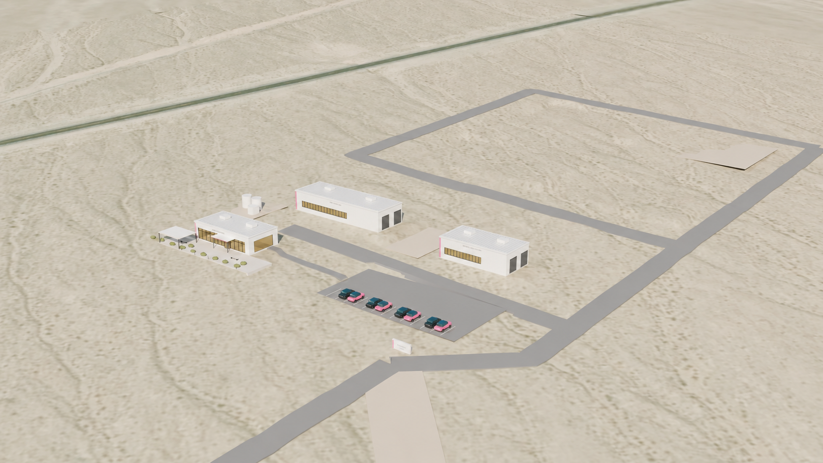
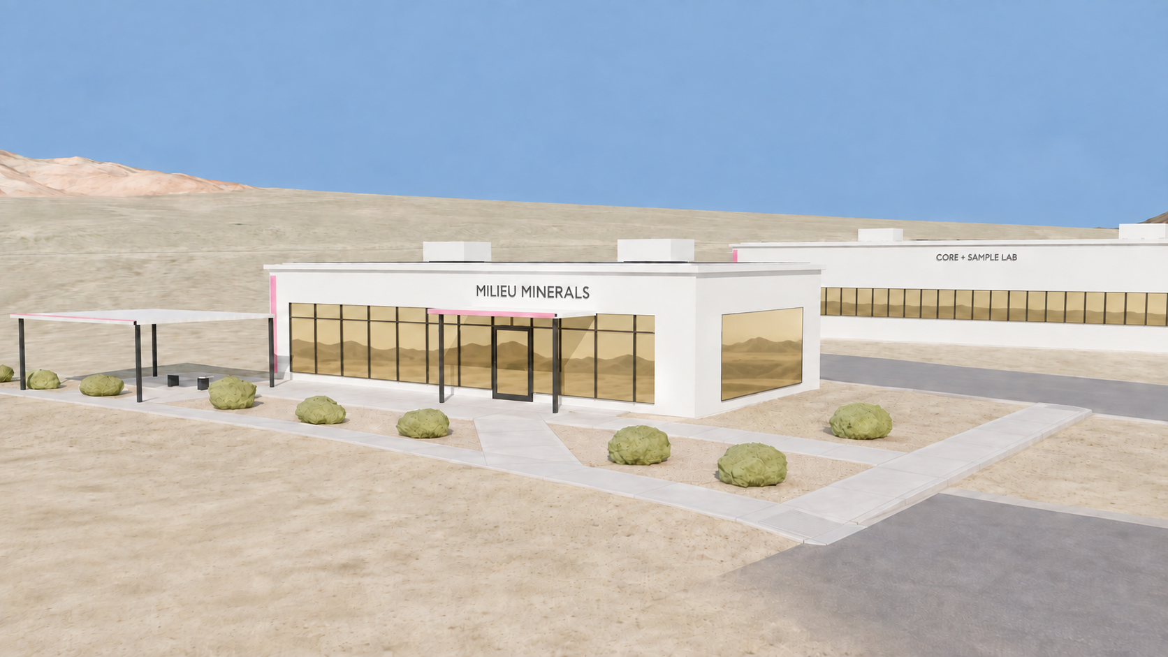
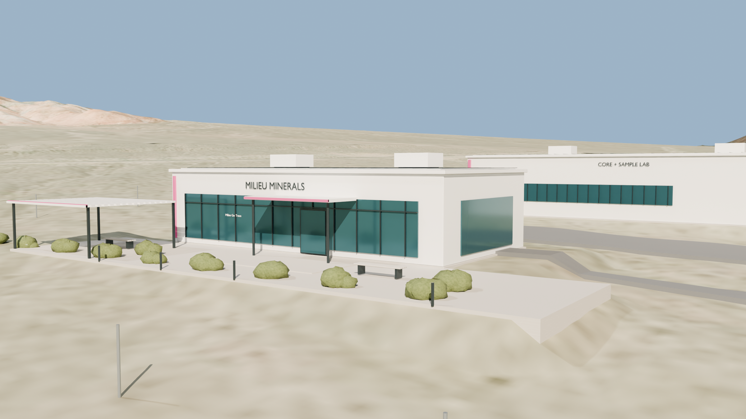
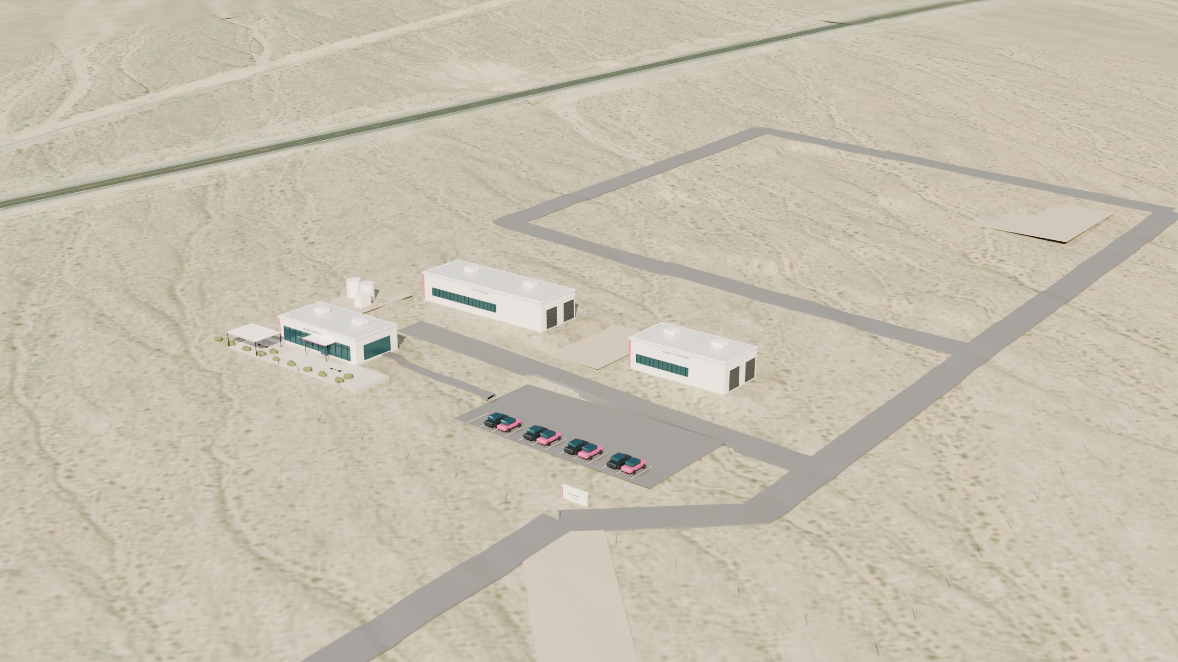
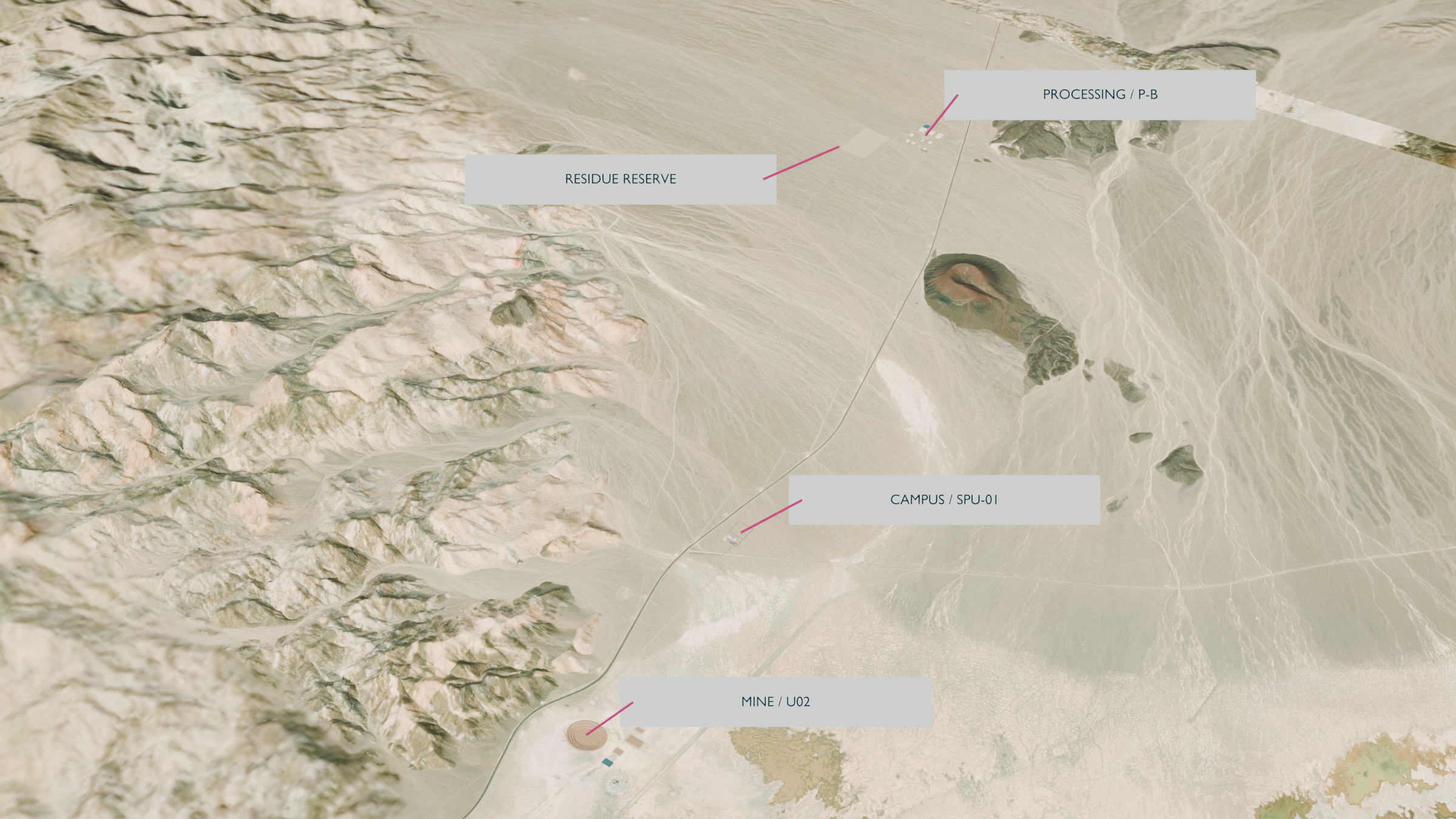
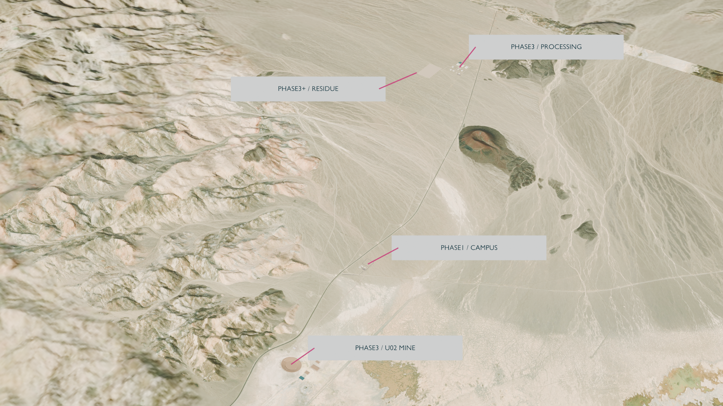
Milieu GeoTrace site analysis ↗Proposed campus, phased facilities, screening interpretation and verification design derived from the supplied source package. Planning geometry and interpretation prepared 17 Sep 2026. No mine portal, pit or production resource is defined.
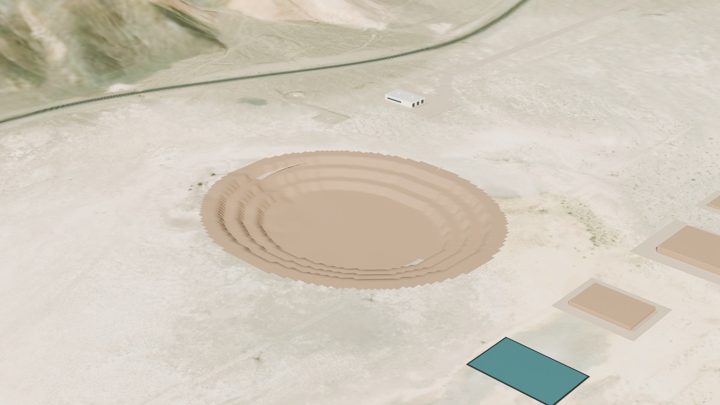
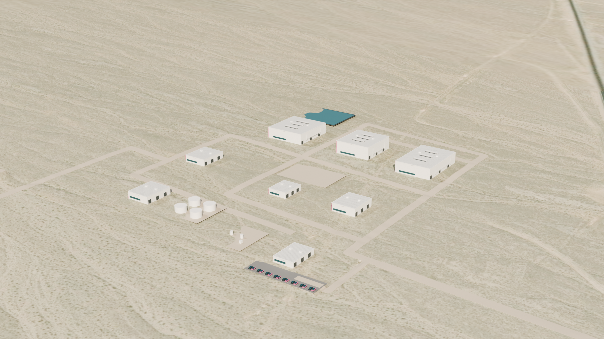
Integrated master geometry register ↗SP-INT-GEO-01; coordinated campus, mine and processing concept geometry, 17 September 2026. Building heights, finished floors and excavation depiction are concept assumptions. Native 1 m terrain is not a boundary or engineering survey. No resource or residue capacity is derived.
NCES 2024-25 school locations ↗Silver Peak Elementary School, 500 Galena St; official point 37.757522 N, 117.635841 W. School grounds and other community envelopes are interpreted from imagery, not parcel boundaries or a complete receptor inventory. No local prevailing-wind claim is made.
Native spectral products ↗Recovered original thermal and SWIR rasters. Cell-preserving display colorizations; native source downloads above.
Original spectral evidence exhibit ↗Original four-panel optical, SWIR and thermal exhibit retained byte-for-byte.
Archived regional geology queries ↗NBMG 1:500,000 geology: original campus and U02 query results, dates and scale limitations. No parcel-scale geological precision is implied.