Imagery & interpretation
Optical, thermal and radiometric evidence with source metadata and native measurement support.
 MILIEUMINERALS
The geospatial awareness arm of Milieu Minerals connects expert mapping, prospectivity, sensors, data and integrations to the decisions that matter on the ground.
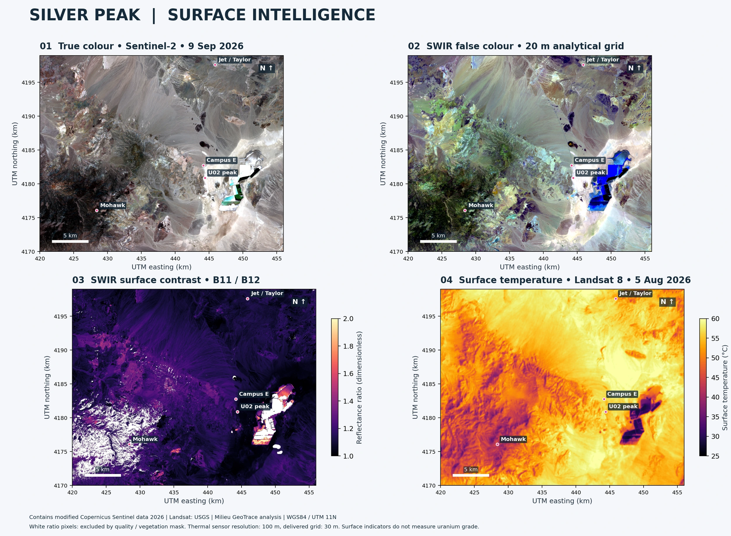
Combine optical imagery, radiometric response, terrain and geology while keeping every source’s resolution and uncertainty visible.
Explore Silver Peak evidenceChoose field priorities with more context, avoid unnecessary expenditure and keep design and operating decisions traceable.
Optical, thermal and radiometric evidence with source metadata and native measurement support.
Terrain, access, receptors, constraints and proposed footprints in their actual geographic setting.
Geological hypotheses and background-adjusted anomalies guide verification, without turning them into resources.
Proposed baseline and operating monitoring plans. Historical observations stay separate from future sensors.
Preserved source measurements, analytical grids, qualifiers and an auditable transformation history.
One controlled geometry register connects GIS, Blender, building schedules and cost models.
Milieu Minerals proposes domestic mineral exploration and development. Milieu GeoTrace supplies the geospatial awareness that supports that work.
Milieu Maritime Forge represents a broader industrial ambition. The current proposals do not establish committed offtake, available mineral production or reactor-ready material. Concentrate production is separate from conversion, enrichment and fuel fabrication.
Explore a partnership